Africa
What does Africa look like on a map? Africa has 55 countries and territories in this outline map, the largest being Democratic Republic of the Congo; the blank map is drawn from Natural Earth's India point-of-view boundaries.
Printable blank map of Africa (PDF, A4) Outline map image (PNG)
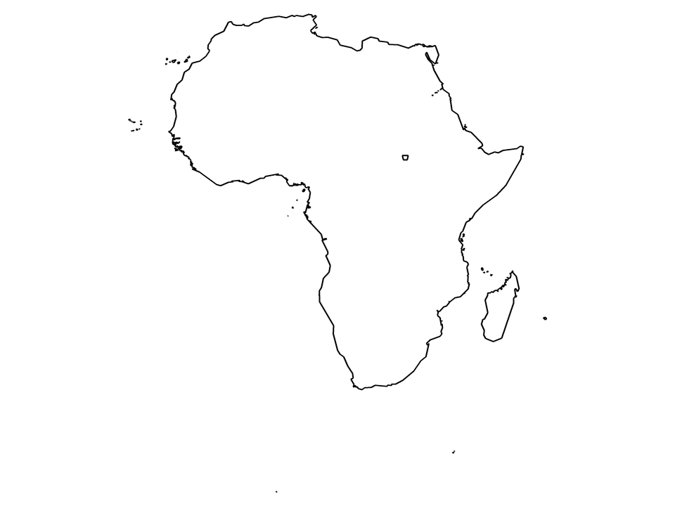
Countries and territories drawn: Algeria, Angola, Benin, Bir Tawil, Botswana, Burkina Faso, Burundi, Cameroon, Cape Verde, Central African Republic, Chad, Comoros, Democratic Republic of the Congo, Djibouti, Egypt, Equatorial Guinea, Eritrea, Eswatini, Ethiopia, France (part), Gabon, Ghana, Guinea, Guinea-Bissau, Ivory Coast, Kenya, Lesotho, Liberia, Libya, Madagascar, Malawi, Mali, Mauritania, Morocco, Mozambique, Namibia, Niger, Nigeria, Republic of the Congo, Rwanda, Senegal, Sierra Leone, Somalia, South Africa, South Sudan, Spain (part), Sudan, São Tomé and Príncipe, Tanzania, The Gambia, Togo, Tunisia, Uganda, Zambia, Zimbabwe. Countries on two continents are cut along Natural Earth's continent outlines; (part) marks them.
| Name | Africa |
|---|---|
| Countries and territories drawn | 55 |
| Largest by area in the outlines | Democratic Republic of the Congo |
| Subregions in the data | Eastern Africa, Middle Africa, Northern Africa, Southern Africa, Southern Europe, Western Africa, Western Europe |
| Land area inside the outlines | about 30,000,000 km² |
| Boundaries | Natural Earth 1:10m, India point of view for countries; de facto control is drawn (see /about/) |