North America
What does North America look like on a map? North America has 41 countries and territories in this outline map, the largest being Canada; the blank map is drawn from Natural Earth's India point-of-view boundaries.
Printable blank map of North America (PDF, A4) Outline map image (PNG)
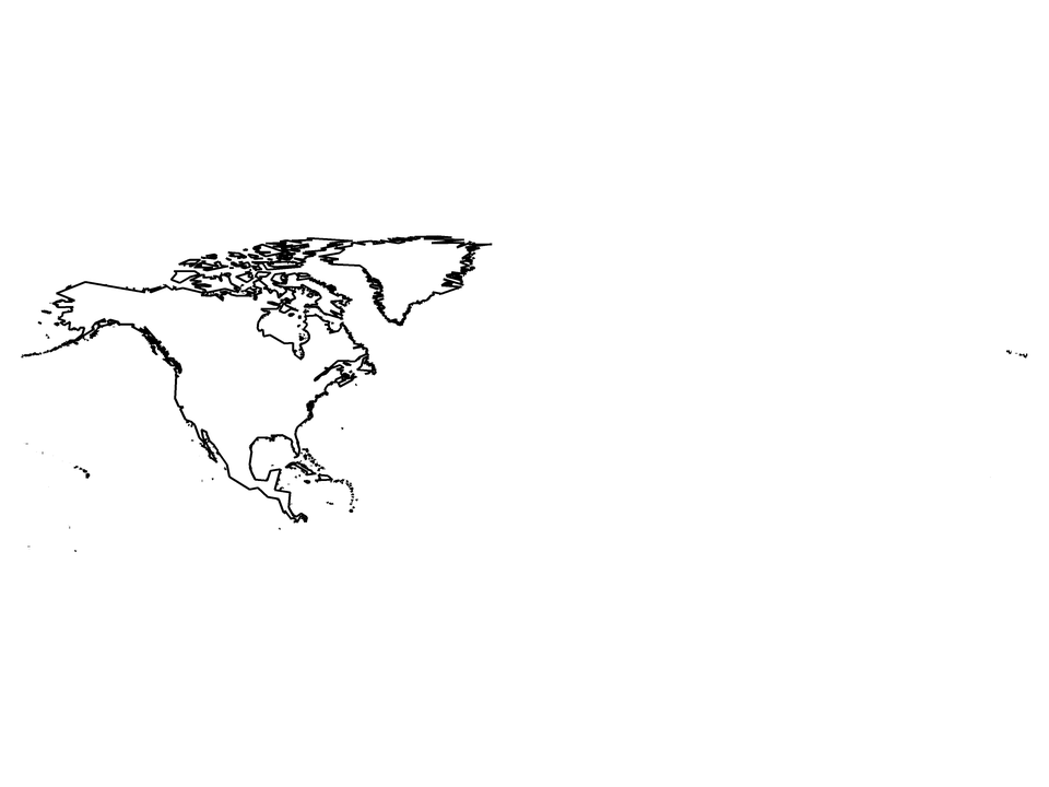
Countries and territories drawn: Anguilla, Antigua and Barbuda, Aruba, Barbados, Belize, Bermuda, British Virgin Islands, Canada, Cayman Islands, Costa Rica, Cuba, Curaçao, Dominica, Dominican Republic, El Salvador, France (part), Greenland, Grenada, Guantanamo Bay Naval Base, Guatemala, Haiti, Honduras, Jamaica, Mexico, Montserrat, Nicaragua, Panama, Puerto Rico, Saint Barthélemy, Saint Kitts and Nevis, Saint Lucia, Saint Martin, Saint Pierre and Miquelon, Saint Vincent and the Grenadines, Sint Maarten, The Bahamas, Trinidad and Tobago, Turks and Caicos Islands, United States Minor Outlying Islands, United States Virgin Islands, United States of America. Countries on two continents are cut along Natural Earth's continent outlines; (part) marks them.
| Name | North America |
|---|---|
| Countries and territories drawn | 41 |
| Largest by area in the outlines | Canada |
| Subregions in the data | Caribbean, Central America, Northern America, Western Europe |
| Land area inside the outlines | about 24,200,000 km² |
| Boundaries | Natural Earth 1:10m, India point of view for countries; de facto control is drawn (see /about/) |