Oceania (Australia and the Pacific)
What does Oceania (Australia and the Pacific) look like on a map? Oceania (Australia and the Pacific) has 27 countries and territories in this outline map, the largest being Australia; the blank map is drawn from Natural Earth's India point-of-view boundaries.
Printable blank map of Oceania (Australia and the Pacific) (PDF, A4) Outline map image (PNG)
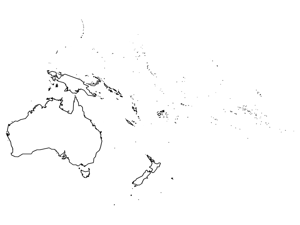
Countries and territories drawn: American Samoa, Ashmore and Cartier Islands, Australia, Cook Islands, Coral Sea Islands, Federated States of Micronesia, Fiji, French Polynesia, Guam, Indonesia (part), Kiribati, Marshall Islands, Nauru, New Caledonia, New Zealand, Niue, Norfolk Island, Northern Mariana Islands, Palau, Papua New Guinea, Pitcairn Islands, Samoa, Solomon Islands, Tonga, Tuvalu, Vanuatu, Wallis and Futuna. Countries on two continents are cut along Natural Earth's continent outlines; (part) marks them.
| Name | Oceania (Australia and the Pacific) |
|---|---|
| Countries and territories drawn | 27 |
| Largest by area in the outlines | Australia |
| Subregions in the data | Australia and New Zealand, Melanesia, Polynesia, South-Eastern Asia |
| Land area inside the outlines | about 8,950,000 km² |
| Boundaries | Natural Earth 1:10m, India point of view for countries; de facto control is drawn (see /about/) |