South America
What does South America look like on a map? South America has 15 countries and territories in this outline map, the largest being Brazil; the blank map is drawn from Natural Earth's India point-of-view boundaries.
Printable blank map of South America (PDF, A4) Outline map image (PNG)
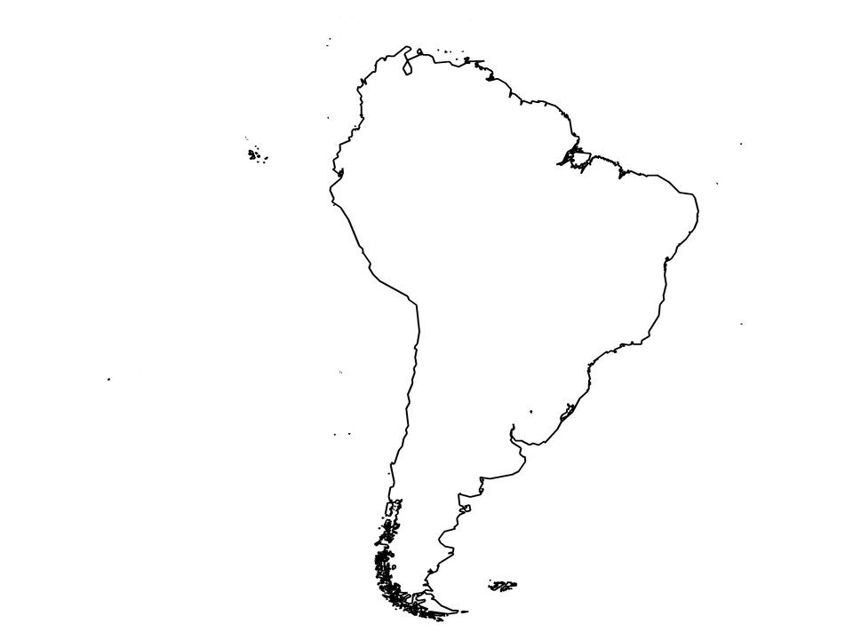
Countries and territories drawn: Argentina, Bolivia, Brazil, Brazilian Island, Chile, Colombia, Ecuador, Falkland Islands, France (part), Guyana, Paraguay, Peru, Suriname, Uruguay, Venezuela. Countries on two continents are cut along Natural Earth's continent outlines; (part) marks them.
| Name | South America |
|---|---|
| Countries and territories drawn | 15 |
| Largest by area in the outlines | Brazil |
| Subregions in the data | South America, Western Europe |
| Land area inside the outlines | about 17,800,000 km² |
| Boundaries | Natural Earth 1:10m, India point of view for countries; de facto control is drawn (see /about/) |