Telangana
Telangana is a state of India, with an area of about 115,000 km² inside this outline.
Printable blank map of Telangana (PDF, A4) Outline map image (PNG)
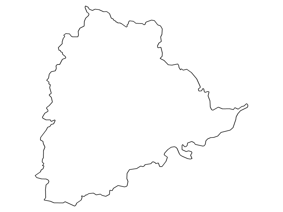
| Name | Telangana |
|---|---|
| Country | India |
| Type of area | State |
| ISO 3166-2 code | IN-TG |
| Area inside this outline | about 115,000 km² |
| Centre point | 17.86, 79.26 |
| Neighbouring states and union territories | Andhra Pradesh, Chhattisgarh, Karnataka, Maharashtra, Odisha |