India
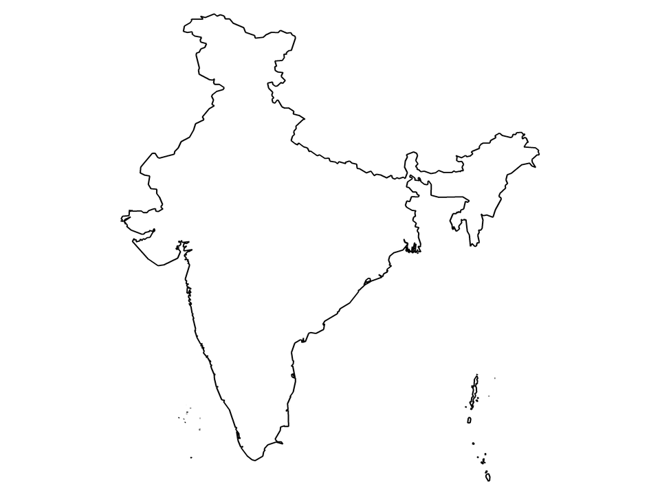
India's outline here follows Natural Earth's India point of view, with an area of about 3,270,000 km² inside the outline; it has 36 states and union territories, each with its own blank map below.
Printable blank map of India (PDF, A4) Outline map image (PNG)
Andaman and Nicobar Islands Andhra Pradesh Arunachal Pradesh Assam Bihar Chandigarh Chhattisgarh Dadra and Nagar Haveli and Daman and Diu Delhi Goa Gujarat Haryana Himachal Pradesh Jammu and Kashmir Jharkhand Karnataka Kerala Ladakh Lakshadweep Madhya Pradesh Maharashtra Manipur Meghalaya Mizoram Nagaland Odisha Puducherry Punjab Rajasthan Sikkim Tamil Nadu Telangana Tripura Uttar Pradesh Uttarakhand West Bengal
| Name | India |
|---|---|
| Formal name | Republic of India |
| ISO 3166-1 codes | IN / IND |
| Continent and subregion | Asia, Southern Asia |
| Population estimate (2019) | 1,366,417,754 |
| Area inside this outline (India point of view) | about 3,270,000 km² |
| States and union territories | 36, each with its own map |
| Neighbouring countries in this point of view | Afghanistan, Bangladesh, Bhutan, Myanmar, Nepal, Pakistan, People's Republic of China |
| Boundary source and point of view | Natural Earth 1:10m, India point of view: this outline includes the areas India claims in Jammu and Kashmir and Ladakh, which are disputed |
See also
Andaman and Nicobar Islands Andhra Pradesh Arunachal Pradesh Assam Bihar Chandigarh Chhattisgarh Dadra and Nagar Haveli and Daman and Diu